Aerial Mapping

Aerial Mapping Services

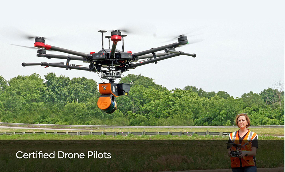
We offer surveying and mapping services from a different perspective. Using our small unmanned aerial systems (sUAS), we provide high-resolution and cost-effective mapping of any project. Our aerial surveys give you greater control over what is mapped and accuracy, which is not possible with traditional ground surveys. Our technology is easily deployable and controlled by FAA-certified sUAS Remote Pilots.

Services:
- Civil Engineering Design Mapping
- Asset Monitoring
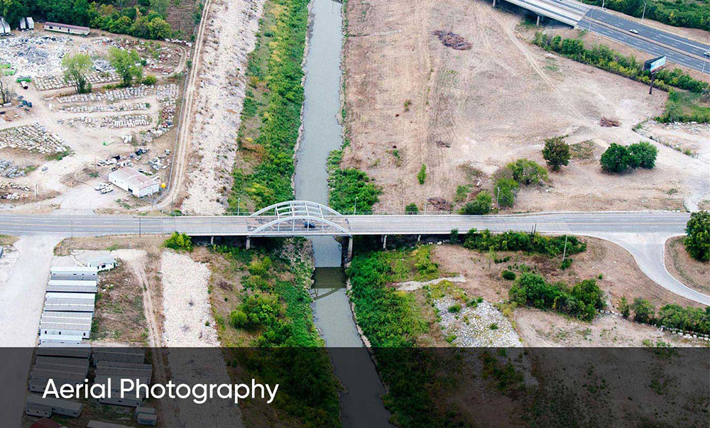
- Orthoimagery & Aerial Acquisition
- 3D Models
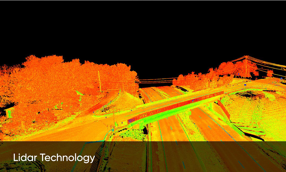
- Aerial Lidar Services
- Contour Generation
- Volume Surveys
- Solid Waste Cell Monitoring
- Construction Planning
- Construction Progress Monitoring
- Pipeline Monitoring
- Environmental Assessment
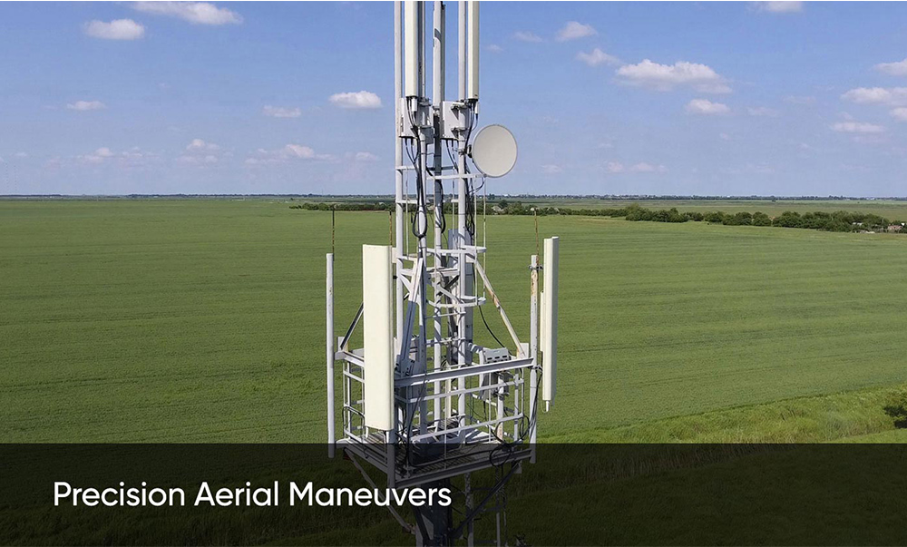
- Tower Inspections
- Power-Line Inspection
- Asset Verification
- Precision Agriculture
- Vegetation Management
- Land Cover Mapping
- Forest Health
- Environmental Mapping
- Emergency Response Mapping
- Disaster Site Monitoring And Mapping
- Hazard Mapping


Take The First Steps Towards
Excellence and Partner With Us For
Your Next Project
3200 S. State Route 291, Building 1 Independence, MO 64057
816.373.4800

Copyright 2025 Powell. All Rights Reserved. | Website Designed by Lillian James Creative.