Geospatial

Geospatial Services

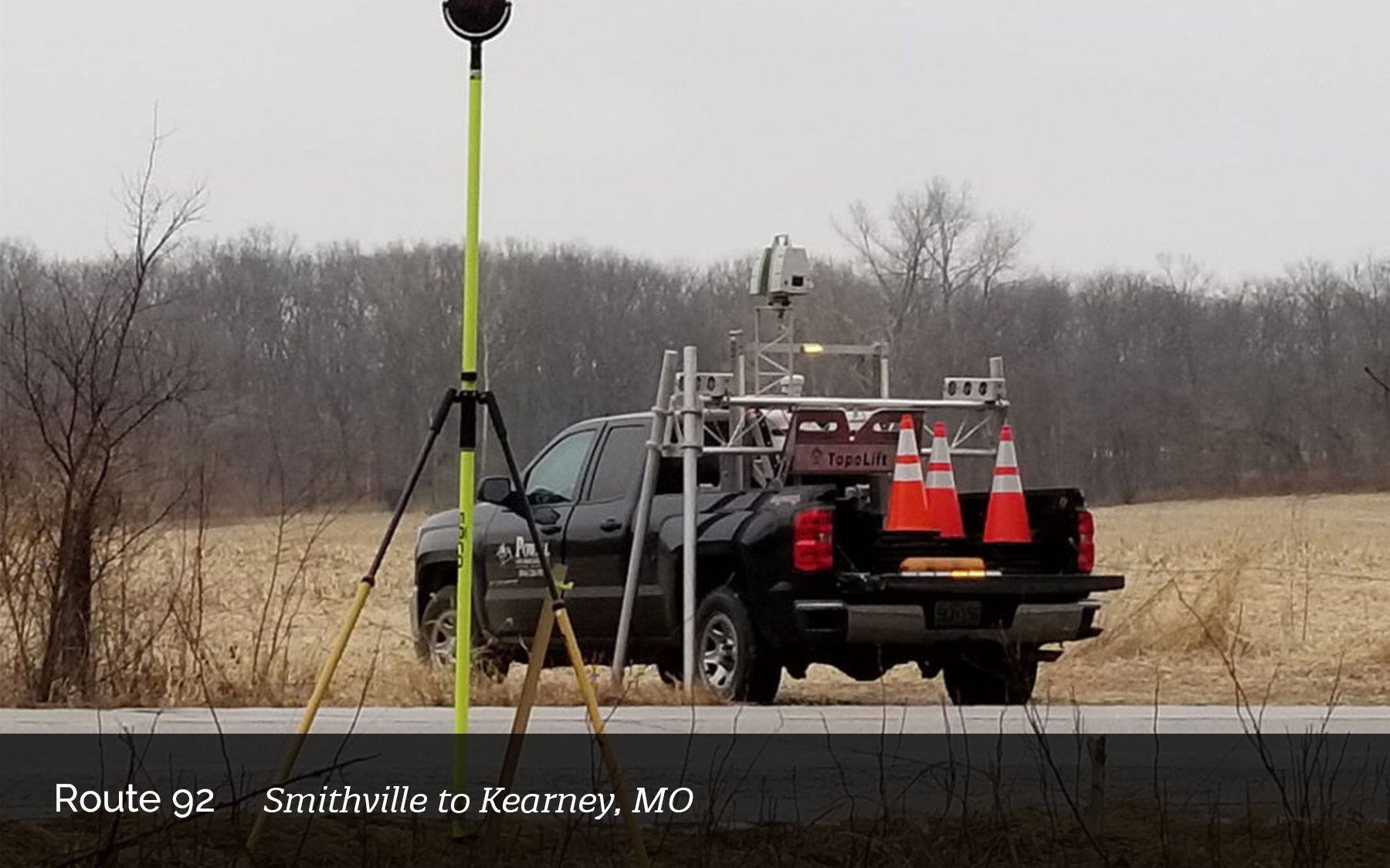
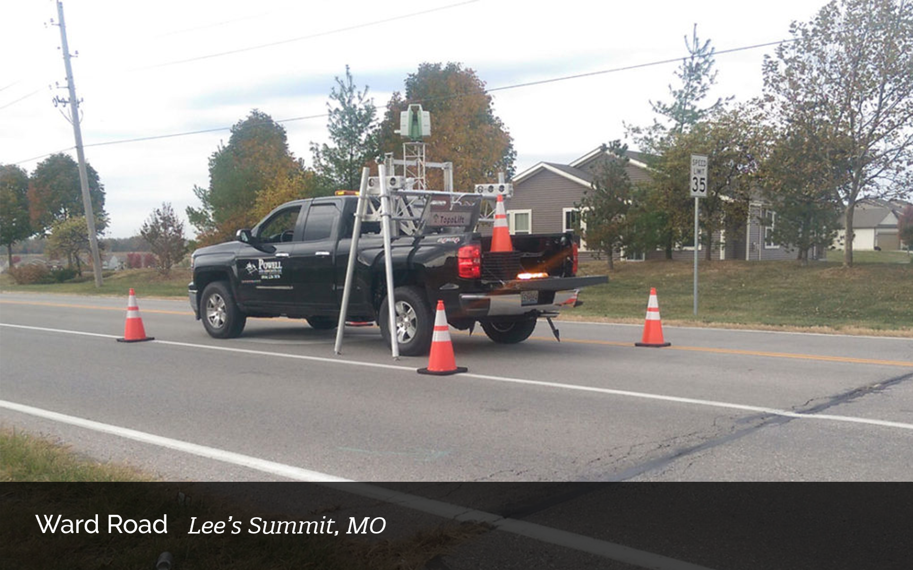
Our teams can get accurate spatial measurements from any angle by using cutting-edge technology like 3D laser scanning, simultaneous localization, and mapping (SLAM), unmanned aerial LiDAR, and mobile LiDAR. Because of its safety, accuracy, and efficiency, geospatial technology has revolutionized how data is captured in the field for design purposes and effectively changed how we bring the best results to your projects.

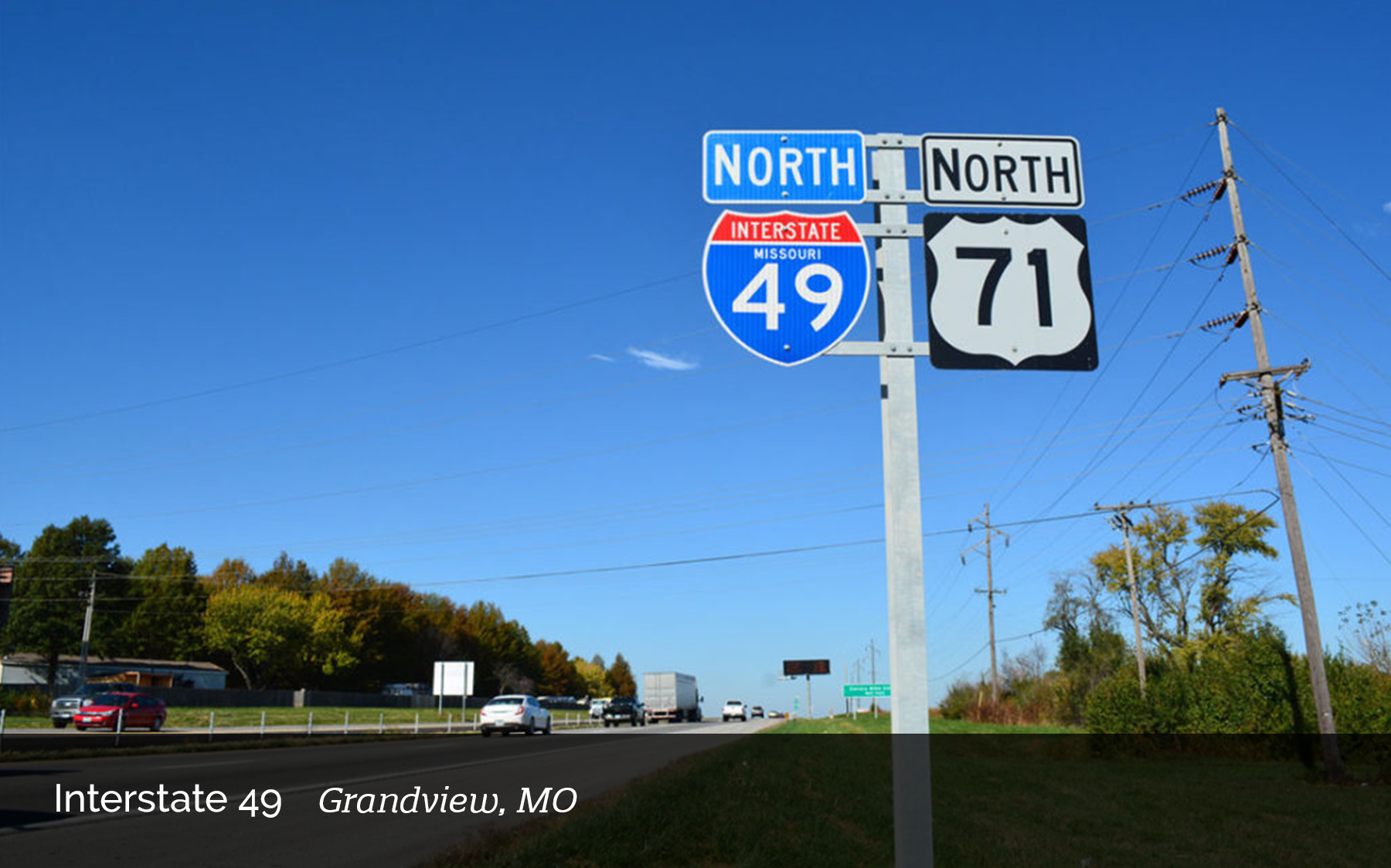
Our Past Projects
Take The First Steps Towards
Excellence and Partner With Us For
Your Next Project
3200 S. State Route 291, Building 1 Independence, MO 64057
816.373.4800

Copyright 2025 Powell. All Rights Reserved. | Website Designed by Lillian James Creative.