Insights

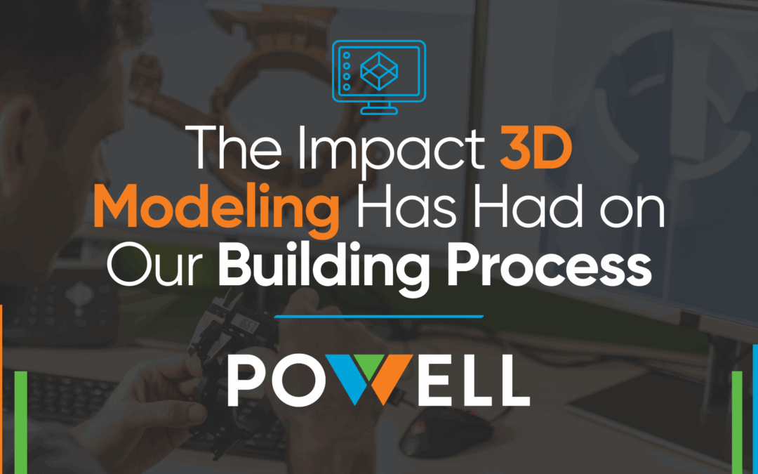
The Impact 3D Modeling Has Had on Our Building Process
One of the most significant impacts of 3D modeling is its ability to bring designs to life. Traditional blueprints and 2D drawings can often lead to misinterpretation, but 3D models provide a realistic, immersive view of a project.

Your Guide to Choosing the Correct Architect for Your Project
Selecting the right architect is one of the most critical decisions when starting a construction, public infrastructure, or renovation project.

How Public Safety Is Prioritized Throughout Civil Engineering and Architecture Projects
At Powell CWM Inc., we integrate rigorous safety standards, innovative solutions, and collaborative practices into every engineering and architecture project to create secure, sustainable, and resilient environments.

Three Ways Virtual Simulations Have Played a Part in Our Project Creation
At Powell CWM Inc., we utilize virtual simulations to improve precision, efficiency, and sustainability in every project, ensuring that our clients get above and beyond results each time.
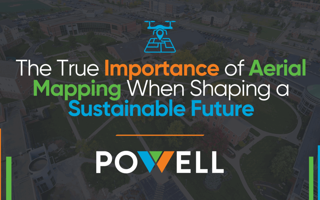
The True Importance of Aerial Mapping When Shaping a Sustainable Future
Aerial mapping provides our teams at Powell CWM Inc. with the necessary data to move forward confidently with architectural, civil engineering, and land surveying projects with the state of our environment in mind.

The Impact Government Regulations Have on Land Surveying and Civil Engineering Projects
Certain regulations, such as the Clean Water Act and Endangered Species Act, ensure that before we start building anything, we take precautions to survey the land and see exactly what we are working with.
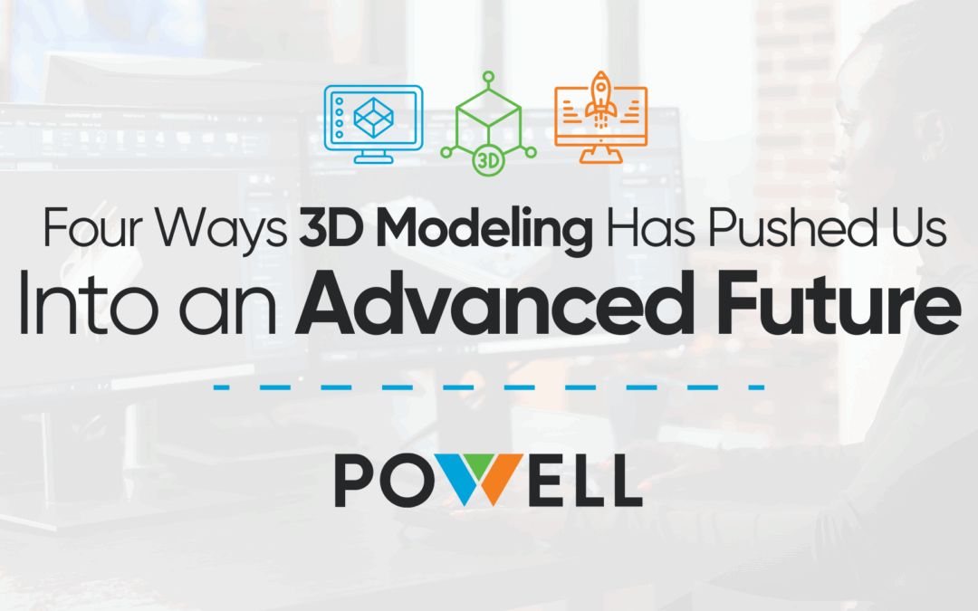
Four Ways 3D Modeling Has Pushed Us Into an Advanced Future
When they utilize 3D rendering programs, our designers and engineers can work directly with the specific data taken from the 3D laser scanning technology used.

What the Future Looks Like for Civil Engineering, Architecture, and Land Surveying
The future of civil engineering, architecture, and land surveying is here, and Powell CWM Inc. is ready.

How Powell CWM Inc. Is Opening Up Its Doors to Younger Generations
We aim to create a high-performance culture that thrives off serving our clients with the highest level of professionalism and smart solutions. To do that, our doors are open to everyone who shares the same excitement and enjoyment about our industries.
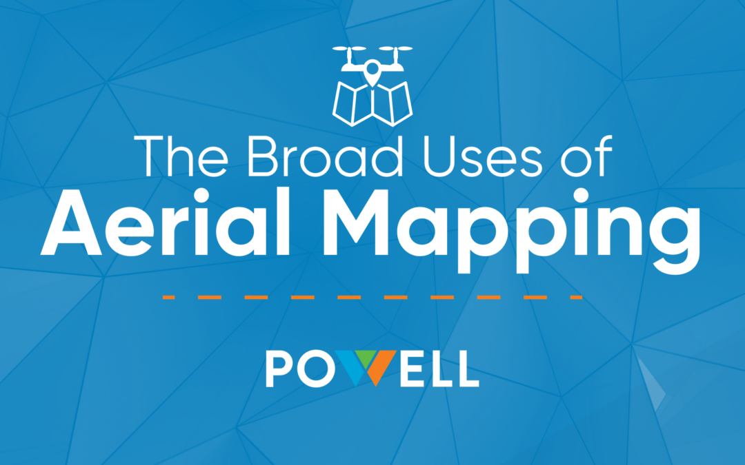
The Broad Uses of Aerial Mapping
Aerial mapping is the process of utilizing a drone to take an aerial survey or map of large areas of land below.
Take The First Steps Towards
Excellence and Partner With Us For
Your Next Project
3200 S. State Route 291, Building 1 Independence, MO 64057
816.373.4800

Copyright 2025 Powell. All Rights Reserved. | Website Designed by Lillian James Creative.